The Climate Prediction Center recently released an “El Niño Advisory” which means that a weak El Niño has developed and is expected to continue into the spring months.
El Niño is a climate pattern where water temperatures in the equatorial Pacific Ocean are rising. This leads to certain changes in the jet stream pattern that can influence weather across the U.S.

For western Pennsylvania, the pattern typically leads to drier and warmer than average conditions, but it should be known that there are factors such as other global patterns and our changing climate that can influence the outcome.
Channel 11 first told you back in November that an El Niño was forecast to develop this winter and that it was expected to be weak. A weak El Niño usually leads to average or slightly above average snowfall.
Just looking at the months of January and February-to-date combined, Pittsburgh is 1.8 inches above average on snowfall.

As far as liquid precipitation, which includes snowmelt, Pittsburgh is almost 2 inches above average year-to-date.

Pittsburgh has been warmer than average this year. The month of January finished 0.9 degrees below average, but the city is sitting at 5.3 degrees above average for the month of February.

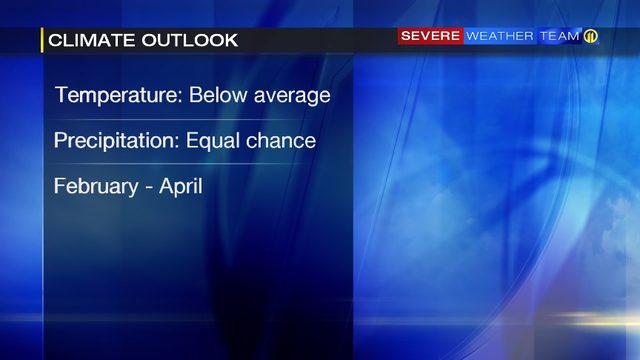
The forecast from the Climate Prediction Center calls for an equal chance of below or above average precipitation for western Pennsylvania and below average temperatures through April.

El Niño influences are more pronounced in the winter months. It’s important to know too, that even though El Niño typically leads to drier than average conditions for our area, Pittsburgh can still see periods of heavy rain or even a big snow storm.
TRENDING NOW:
- Report: Payless set to shutter all stores, file for bankruptcy
- CDC: Raw milk from Pa. farm linked to exposures to drug-resistant disease
- ‘Zombie deer' disease found in 24 states, could spread to humans
- VIDEO: Valentine's candy sends 28 students to the hospital
- DOWNLOAD the Channel 11 News app for breaking news alerts
Cox Media Group


