PITTSBURGH — The remnants of Hurricane Ida are making a beeline for southwestern Pennsylvania, and some communities will be dealing with flooding Wednesday and through the rest of the workweek.
If you want to receive alerts about weather, download our Severe Weather Team 11 app.
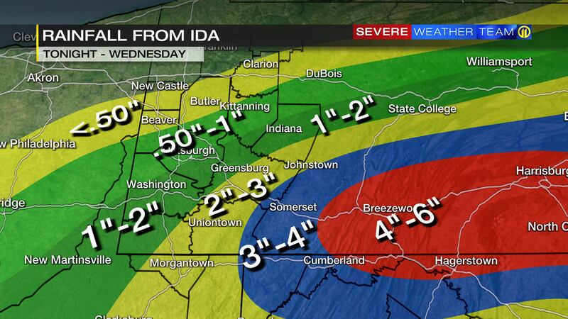
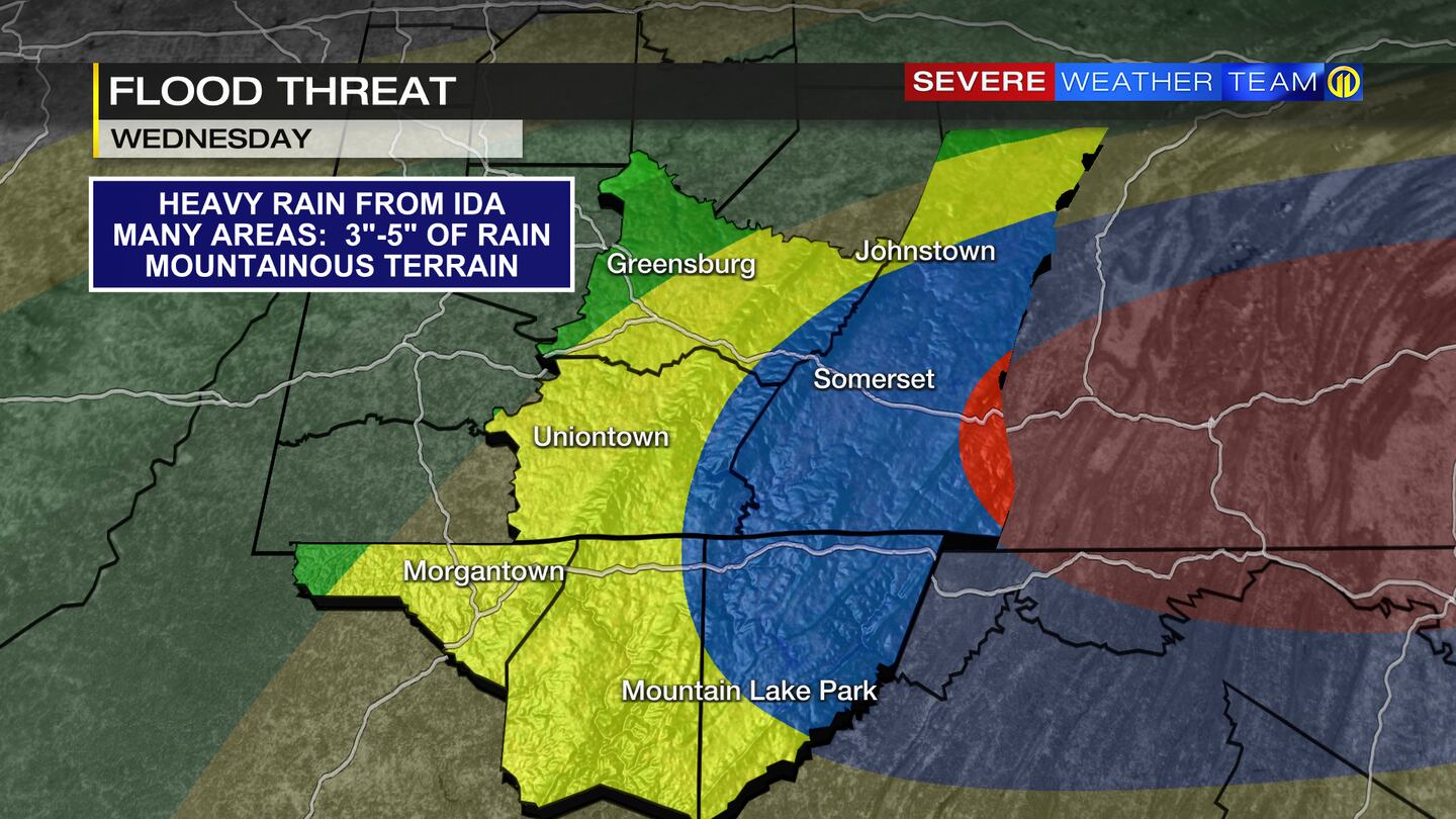
Rain will move in from Ida Tuesday night and become heavy south of Pittsburgh by early Wednesday morning. Rain will continue much of the day, with the steadiest and heaviest rain in Westmoreland, Fayette, Greene, Monongalia, Preston and Garrett counties, where several inches of rain are possible by Wednesday night.
>>RELATED STORY: Power companies gearing up for possible outages as rain from Ida nears Pittsburgh area
Flooding is likely, especially in areas that pick up the highest rain totals. A flash flood watch is in effect for a good part of our area, and river flooding is also expected to be a problem later this week. The Mon Wharf Parking area and North Shore Riverwalk might have to be shut down by later in the day Thursday.
The exact location and amount of heavy rain will change based on the latest track of the storm. Stay with Severe Weather Team 11 as we continue to update the forecast.
TRENDING NOW:


